Hydraulic modelling
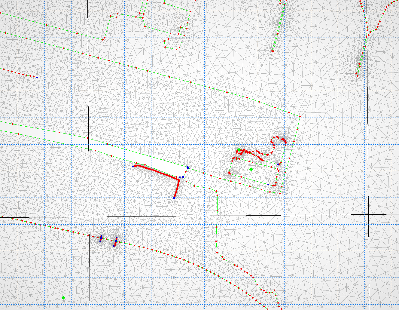
1D/2D Hydraulic modelling using DHI softwares
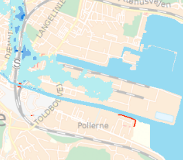
Flood hazard and flood risk mapping
Mike Hydro River, Mike11, MIKE Urban, Mike Zero, Mike21, Mike21 FM and Mike Flood

Capture, store, manipulate, analyze, manage and present all types of geographical data using several GIS-softwares
ArcGIS, FME and Global Mapper
AXI Hydro Solutions has a vast experience in protecting municipalities against future heavy rainfall, rising sea level and/or overflowing river systems. AXI Hydro Solutions's staff has an extensive experience of using DHI programs such as: Mike Hydro River, Mike11, MIKE Urban, Mike Zero, Mike21, Mike21 FM and Mike Flood and it is very well trained with courses /certifications (MIKE FLOOD FM, 2017) and workshops (Urban Flood Risk Modelling, 2016). The staff has also an important experience in using several GIS-softwares, such as ArcGIS, FME and Global Mapper.
AXI Hydro Solutions's staff gained this extensive experience though numerous international projects. Based on this international experience, AXI Hydro Solutions’s staff is qualified to:
• Prepare and carry out the needed modelling work
• Provide flood hazard and flood risk maps
• Investigate various measures and packages of measures to manage flood risk
• Provide flood hazard and flood risk maps for promising alternatives
• Provide technical input and advice
• Develop draft Flood Risk Management Plans for all Units of management and on a National Scale
• Carry out Pre-feasibility studies for selected promising alternatives, including integrated flood risk management projects.